Essex Countryside near Abridge
Introduction
The photograph on this page of Essex Countryside near Abridge by John Rostron as part of the Geograph project.
The Geograph project started in 2005 with the aim of publishing, organising and preserving representative images for every square kilometre of Great Britain, Ireland and the Isle of Man.

There are currently over 7.5m images from over 14,400 individuals and you can help contribute to the project by visiting https://www.geograph.org.uk
Essex Countryside near Abridge
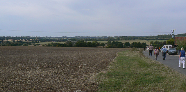
Image: © John Rostron Taken: 6 Sep 2009
A view from the Patch Park Farm road, looking north over the River Roding valley.
Images are licensed for reuse under creativecommons.org/licenses/by-sa/2.0
Image Location
Latitude
51.660634
Longitude
0.145297