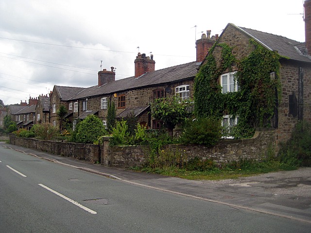
Former colliery housing at Coppice Road (2)
Introduction
The photograph on this page of Former colliery housing at Coppice Road (2) by Mike Kirby as part of the Geograph project.
The Geograph project started in 2005 with the aim of publishing, organising and preserving representative images for every square kilometre of Great Britain, Ireland and the Isle of Man.
There are currently over 7.5m images from over 14,400 individuals and you can help contribute to the project by visiting https://www.geograph.org.uk

Image: © Mike Kirby Taken: 29 Aug 2009
Built of local stone in 1873/4, and consisting of four blocks of 8, 8, 8 and 10 cottages, this row is collectively known as Newtown. Problems arose over subsidence from mining in the early 1900s and these cottages had to be supported with metal ties, and pieces of metal which can be seen today. Classed at present as a locally important site, they may receive grade II listing in the future. (This view, 2nd row of 8)

