Treadaway Hill
Introduction
The photograph on this page of Treadaway Hill by Andrew Smith as part of the Geograph project.
The Geograph project started in 2005 with the aim of publishing, organising and preserving representative images for every square kilometre of Great Britain, Ireland and the Isle of Man.

There are currently over 7.5m images from over 14,400 individuals and you can help contribute to the project by visiting https://www.geograph.org.uk
Treadaway Hill
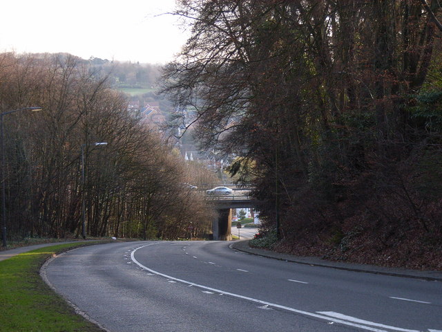
Image: © Andrew Smith Taken: 6 Apr 2006
The descent from Flackwell Heath to Loudwater, passing beneath the M40.
Images are licensed for reuse under creativecommons.org/licenses/by-sa/2.0
Image Location
Latitude
51.603489
Longitude
-0.704759