Church path - Corton Denham
Introduction
The photograph on this page of Church path - Corton Denham by Sarah Smith as part of the Geograph project.
The Geograph project started in 2005 with the aim of publishing, organising and preserving representative images for every square kilometre of Great Britain, Ireland and the Isle of Man.

There are currently over 7.5m images from over 14,400 individuals and you can help contribute to the project by visiting https://www.geograph.org.uk
Church path - Corton Denham
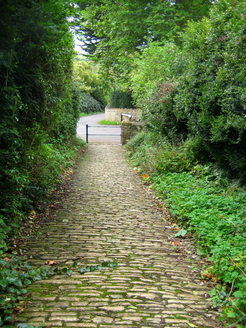
Image: © Sarah Smith Taken: 5 Sep 2009
St Andrew's church is situated at the top of the village on the hillside. The old path is steep and made up of small cobble stones. At the bottom the junction of Putts Lane with Middle Ridge Lane disappearing further down the hill is just visible.
Images are licensed for reuse under creativecommons.org/licenses/by-sa/2.0
Image Location


Leaflet Map data © OpenStreetMap
Latitude
51.001088
Longitude
-2.520686