2009 : Dangells Barn Farm, the sign
Introduction
The photograph on this page of 2009 : Dangells Barn Farm, the sign by Maurice Pullin as part of the Geograph project.
The Geograph project started in 2005 with the aim of publishing, organising and preserving representative images for every square kilometre of Great Britain, Ireland and the Isle of Man.

There are currently over 7.5m images from over 14,400 individuals and you can help contribute to the project by visiting https://www.geograph.org.uk
2009 : Dangells Barn Farm, the sign
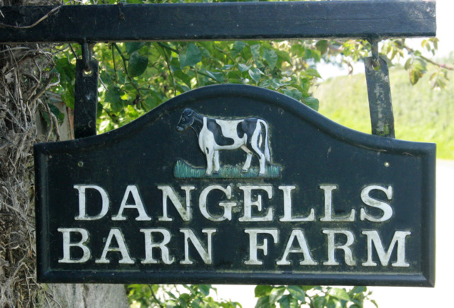
Image: © Maurice Pullin Taken: 4 Sep 2009
Seems to be a dairy farm, but you wouldn't get much milk from that cow.
Images are licensed for reuse under creativecommons.org/licenses/by-sa/2.0
Image Location
Latitude
51.152493
Longitude
-2.295483