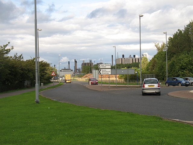
Inchyra Road
Introduction
The photograph on this page of Inchyra Road by Richard Webb as part of the Geograph project.
The Geograph project started in 2005 with the aim of publishing, organising and preserving representative images for every square kilometre of Great Britain, Ireland and the Isle of Man.
There are currently over 7.5m images from over 14,400 individuals and you can help contribute to the project by visiting https://www.geograph.org.uk

Image: © Richard Webb Taken: 4 Sep 2009
One of the roads linking the oil refinery, polymer plants and docks with the M9 motorway. A lot of Scotland's trade and almost all the road fuel passes this way. I expect by surveying the traffic here, you could get a very good idea of how well the economy is doing. The roads in the petrochemical complex are straight and this may be due to the alignment of the runway on the airport that used to occupy this site.

