Hordle, Flambards
Introduction
The photograph on this page of Hordle, Flambards by Mike Faherty as part of the Geograph project.
The Geograph project started in 2005 with the aim of publishing, organising and preserving representative images for every square kilometre of Great Britain, Ireland and the Isle of Man.

There are currently over 7.5m images from over 14,400 individuals and you can help contribute to the project by visiting https://www.geograph.org.uk
Hordle, Flambards
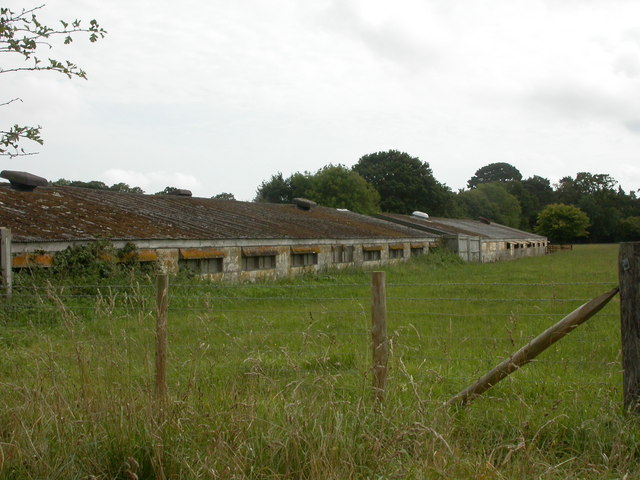
Image: © Mike Faherty Taken: 6 Sep 2009
The outside of the property looks well-maintained, but look to the West - what were presumably once poultry houses appear untended. Some windows open, but no noise or smell.
Images are licensed for reuse under creativecommons.org/licenses/by-sa/2.0
Image Location
Latitude
50.762415
Longitude
-1.614576