Walton-on-the-Naze: Walton Baptist Church
Introduction
The photograph on this page of Walton-on-the-Naze: Walton Baptist Church by Nigel Cox as part of the Geograph project.
The Geograph project started in 2005 with the aim of publishing, organising and preserving representative images for every square kilometre of Great Britain, Ireland and the Isle of Man.

There are currently over 7.5m images from over 14,400 individuals and you can help contribute to the project by visiting https://www.geograph.org.uk
Walton-on-the-Naze: Walton Baptist Church
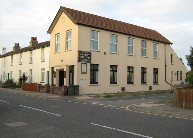
Image: © Nigel Cox Taken: 30 Aug 2009
The Church is on Hall Lane at its junction with Beatrice Road. It appears on the Ordnance Survey map of 1925 as a Mission Hall. The cottages beyond might have originally been built for workers in Warner's iron foundry just up the road.
Images are licensed for reuse under creativecommons.org/licenses/by-sa/2.0
Image Location
Latitude
51.857505
Longitude
1.278805