Hordle, Stopples Lane
Introduction
The photograph on this page of Hordle, Stopples Lane by Mike Faherty as part of the Geograph project.
The Geograph project started in 2005 with the aim of publishing, organising and preserving representative images for every square kilometre of Great Britain, Ireland and the Isle of Man.

There are currently over 7.5m images from over 14,400 individuals and you can help contribute to the project by visiting https://www.geograph.org.uk
Hordle, Stopples Lane
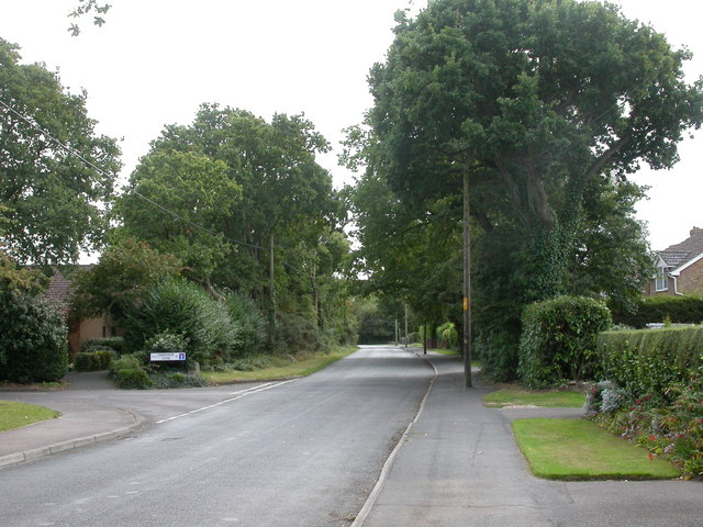
Image: © Mike Faherty Taken: 6 Sep 2009
Road from Hordle village to the junction with Hordle Lane, lined with semi-mature oak trees.
Images are licensed for reuse under creativecommons.org/licenses/by-sa/2.0
Image Location
Latitude
50.758663
Longitude
-1.622263