The new Newry bypass (82)
Introduction
The photograph on this page of The new Newry bypass (82) by Albert Bridge as part of the Geograph project.
The Geograph project started in 2005 with the aim of publishing, organising and preserving representative images for every square kilometre of Great Britain, Ireland and the Isle of Man.

There are currently over 7.5m images from over 14,400 individuals and you can help contribute to the project by visiting https://www.geograph.org.uk
The new Newry bypass (82)
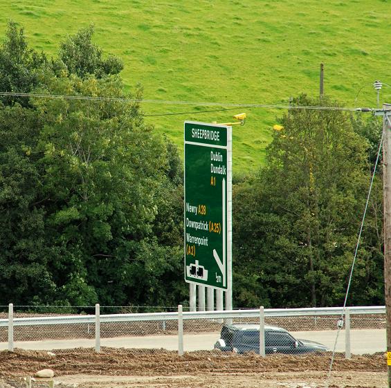
Image: © Albert Bridge Taken: 5 Sep 2009
See Image This recently-erected advance direction sign is a short distance north of the previous photo. It looks as if the northernmost part of the new bypass will open soon at the Sheepbridge junction (which will be a roundabout pending completion of the grade-separated junction). The 4WD is a contractor’s vehicle. Continue to Image
Images are licensed for reuse under creativecommons.org/licenses/by-sa/2.0
Image Location
Latitude
54.223834
Longitude
-6.318665