Signs of development
Introduction
The photograph on this page of Signs of development by Richard Dorrell as part of the Geograph project.
The Geograph project started in 2005 with the aim of publishing, organising and preserving representative images for every square kilometre of Great Britain, Ireland and the Isle of Man.

There are currently over 7.5m images from over 14,400 individuals and you can help contribute to the project by visiting https://www.geograph.org.uk
Signs of development
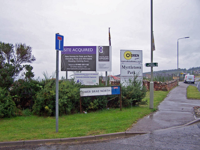
Image: © Richard Dorrell Taken: 3 Sep 2009
At the junction between Tower Brae North and Tower Road the signs announce the building of new houses in Myrtletown Park.
Images are licensed for reuse under creativecommons.org/licenses/by-sa/2.0
Image Location
Latitude
57.474957
Longitude
-4.147473