Boughton Lees Green
Introduction
The photograph on this page of Boughton Lees Green by PAUL FARMER as part of the Geograph project.
The Geograph project started in 2005 with the aim of publishing, organising and preserving representative images for every square kilometre of Great Britain, Ireland and the Isle of Man.

There are currently over 7.5m images from over 14,400 individuals and you can help contribute to the project by visiting https://www.geograph.org.uk
Boughton Lees Green
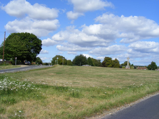
Image: © PAUL FARMER Taken: 5 Sep 2009
Faversham Road is to the left of the picture and Wye Road to the right
Images are licensed for reuse under creativecommons.org/licenses/by-sa/2.0
Image Location


Leaflet Map data © OpenStreetMap
Latitude
51.18782
Longitude
0.891224