Lympstone: Wotton Brook in culvert
Introduction
The photograph on this page of Lympstone: Wotton Brook in culvert by Chris Downer as part of the Geograph project.
The Geograph project started in 2005 with the aim of publishing, organising and preserving representative images for every square kilometre of Great Britain, Ireland and the Isle of Man.

There are currently over 7.5m images from over 14,400 individuals and you can help contribute to the project by visiting https://www.geograph.org.uk
Lympstone: Wotton Brook in culvert
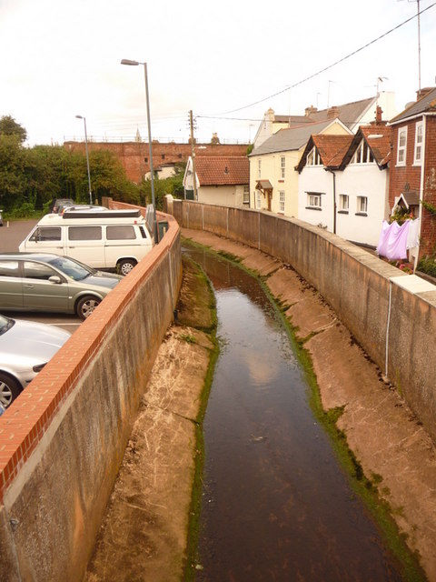
Image: © Chris Downer Taken: 29 Aug 2009
The stream is led through this concrete channel between the main village car park and the back gardens of properties in The Strand inland of the railway.
Images are licensed for reuse under creativecommons.org/licenses/by-sa/2.0
Image Location
Latitude
50.64754
Longitude
-3.429216