Quarter Farm
Introduction
The photograph on this page of Quarter Farm by David Baird as part of the Geograph project.
The Geograph project started in 2005 with the aim of publishing, organising and preserving representative images for every square kilometre of Great Britain, Ireland and the Isle of Man.

There are currently over 7.5m images from over 14,400 individuals and you can help contribute to the project by visiting https://www.geograph.org.uk
Quarter Farm
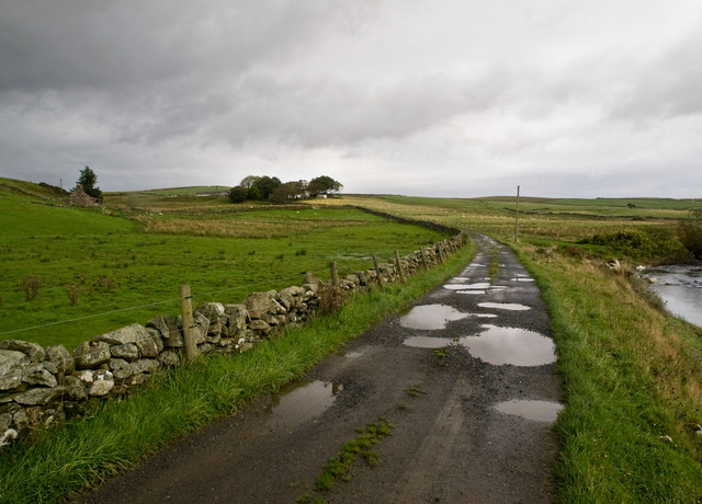
Image: © David Baird Taken: 5 Sep 2009
'Quarter' or 'quarterland' is an old Scots division of land (in Gaelic ceathramh), equivalent to eight fourpennylands or a quarter of an ounceland, which was itself was an eighth of a markland. A markland was an area of land for which the annual rent was one mark (worth about 13s 4d). To the right of the farm road runs the Cross Water of Luce.
Images are licensed for reuse under creativecommons.org/licenses/by-sa/2.0
Image Location
Latitude
54.975933
Longitude
-4.83529