Frinton-on-Sea: The Esplanade
Introduction
The photograph on this page of Frinton-on-Sea: The Esplanade by Nigel Cox as part of the Geograph project.
The Geograph project started in 2005 with the aim of publishing, organising and preserving representative images for every square kilometre of Great Britain, Ireland and the Isle of Man.

There are currently over 7.5m images from over 14,400 individuals and you can help contribute to the project by visiting https://www.geograph.org.uk
Frinton-on-Sea: The Esplanade
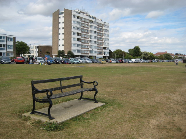
Image: © Nigel Cox Taken: 30 Aug 2009
The flats are on the Esplanade that runs the full length of Frinton's seaward frontage. The grassy area is The Greensward, constructed in 1903 to stabilize the cliffs. And, if you're ever tired walking on The Greensward, there are any number of benches along it, only about a thirty second walk apart.
Images are licensed for reuse under creativecommons.org/licenses/by-sa/2.0
Image Location
Latitude
51.832043
Longitude
1.249951