Baillieston, the Calderbank Avenue
Introduction
The photograph on this page of Baillieston, the Calderbank Avenue by Robert Murray as part of the Geograph project.
The Geograph project started in 2005 with the aim of publishing, organising and preserving representative images for every square kilometre of Great Britain, Ireland and the Isle of Man.

There are currently over 7.5m images from over 14,400 individuals and you can help contribute to the project by visiting https://www.geograph.org.uk
Baillieston, the Calderbank Avenue
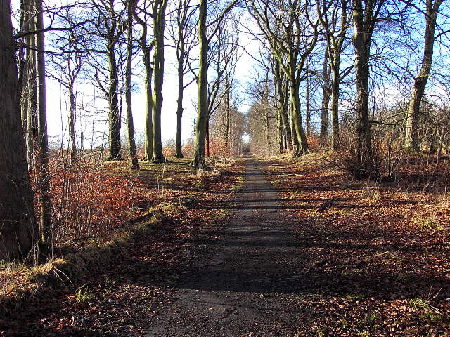
Image: © Robert Murray Taken: 5 Feb 2005
The avenue of the old Calderbank House, this view is now history due to a housing developer chopping down one half of the Lime and Beech stands. See www.geograph.org.uk/photo/1474618 to view the change in 2008.
Images are licensed for reuse under creativecommons.org/licenses/by-sa/2.0
Image Location
Latitude
55.843179
Longitude
-4.109474