Houses south of Kersey church
Introduction
The photograph on this page of Houses south of Kersey church by Andrew Hill as part of the Geograph project.
The Geograph project started in 2005 with the aim of publishing, organising and preserving representative images for every square kilometre of Great Britain, Ireland and the Isle of Man.

There are currently over 7.5m images from over 14,400 individuals and you can help contribute to the project by visiting https://www.geograph.org.uk
Houses south of Kersey church
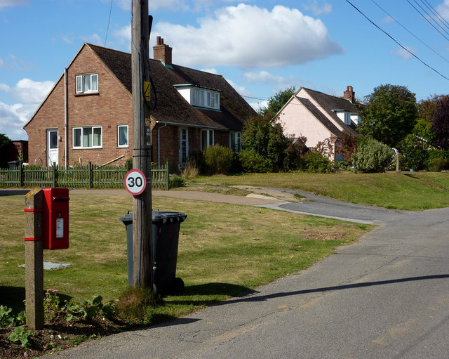
Image: © Andrew Hill Taken: 5 Sep 2009
There are quite a number of houses on the dead end lane south of the church. The local postbox is also in view.
Images are licensed for reuse under creativecommons.org/licenses/by-sa/2.0
Image Location
Latitude
52.054929
Longitude
0.920061