The Wheatsheaf, Windmill End
Introduction
The photograph on this page of The Wheatsheaf, Windmill End by Brian Clift as part of the Geograph project.
The Geograph project started in 2005 with the aim of publishing, organising and preserving representative images for every square kilometre of Great Britain, Ireland and the Isle of Man.

There are currently over 7.5m images from over 14,400 individuals and you can help contribute to the project by visiting https://www.geograph.org.uk
The Wheatsheaf, Windmill End
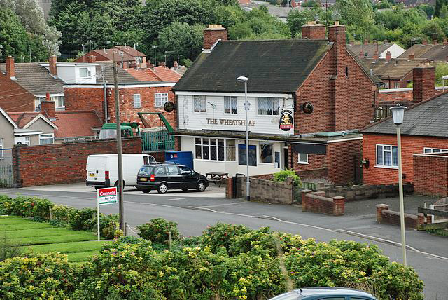
Image: © Brian Clift Taken: 3 Sep 2009
View of this public house from the Dudley No 2 Canal.
Images are licensed for reuse under creativecommons.org/licenses/by-sa/2.0
Image Location
Latitude
52.489983
Longitude
-2.070648