Spatham Field
Introduction
The photograph on this page of Spatham Field by Simon Carey as part of the Geograph project.
The Geograph project started in 2005 with the aim of publishing, organising and preserving representative images for every square kilometre of Great Britain, Ireland and the Isle of Man.

There are currently over 7.5m images from over 14,400 individuals and you can help contribute to the project by visiting https://www.geograph.org.uk
Spatham Field
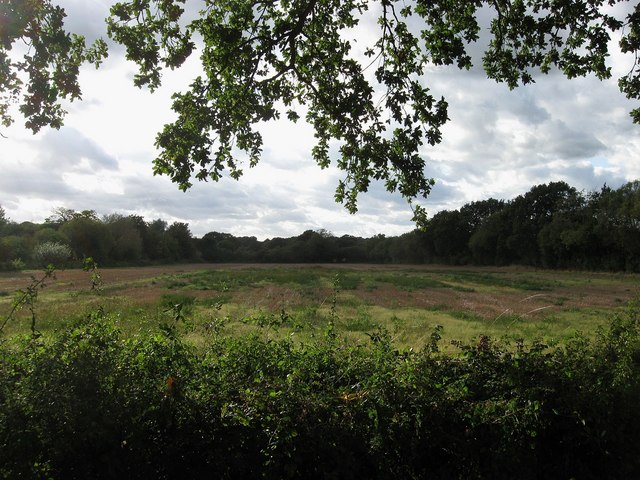
Image: © Simon Carey Taken: 4 Sep 2009
The name of the field according to the 1843 tithe map. The hedgerow on the left marks the course of a former Roman road that linked the corn growing area around modern Barcombe Mills with the Roman station at Hardham on Stane Street.
Images are licensed for reuse under creativecommons.org/licenses/by-sa/2.0
Image Location
Latitude
50.923025
Longitude
-0.099118