Footpath from Farm Lane
Introduction
The photograph on this page of Footpath from Farm Lane by Simon Carey as part of the Geograph project.
The Geograph project started in 2005 with the aim of publishing, organising and preserving representative images for every square kilometre of Great Britain, Ireland and the Isle of Man.

There are currently over 7.5m images from over 14,400 individuals and you can help contribute to the project by visiting https://www.geograph.org.uk
Footpath from Farm Lane
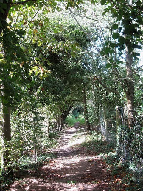
Image: © Simon Carey Taken: 4 Sep 2009
Heading north to join a number of other footpaths near modern day Stoneywish Park. The old field boundary still exists to the left.
Images are licensed for reuse under creativecommons.org/licenses/by-sa/2.0
Image Location


Leaflet Map data © OpenStreetMap
Latitude
50.92138
Longitude
-0.108576