Banbury Lane (bungalows), King's Sutton
Introduction
The photograph on this page of Banbury Lane (bungalows), King's Sutton by Kurt C as part of the Geograph project.
The Geograph project started in 2005 with the aim of publishing, organising and preserving representative images for every square kilometre of Great Britain, Ireland and the Isle of Man.

There are currently over 7.5m images from over 14,400 individuals and you can help contribute to the project by visiting https://www.geograph.org.uk
Banbury Lane (bungalows), King's Sutton
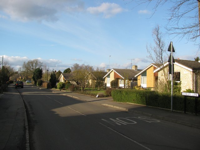
Image: © Kurt C Taken: 1 Mar 2009
In this image of Banbury Lane, which of course leads to nearby Banbury, we can see that King's Sutton has a fair number of simple bungalows within in it, amongst the various older and more substantial buildings.
Images are licensed for reuse under creativecommons.org/licenses/by-sa/2.0
Image Location
Latitude
52.022895
Longitude
-1.276373