All Saints churchyard
Introduction
The photograph on this page of All Saints churchyard by Trevor Rickard as part of the Geograph project.
The Geograph project started in 2005 with the aim of publishing, organising and preserving representative images for every square kilometre of Great Britain, Ireland and the Isle of Man.

There are currently over 7.5m images from over 14,400 individuals and you can help contribute to the project by visiting https://www.geograph.org.uk
All Saints churchyard
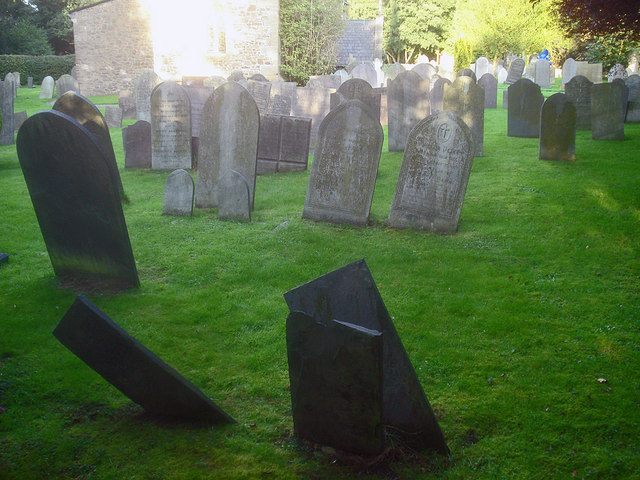
Image: © Trevor Rickard Taken: 8 Aug 2009
Absolutely packed with headstones, many of which make fascinating reading. Hardly surprising that the churchyard was declared full and the current cemetery was created on Groby Road to the south.
Images are licensed for reuse under creativecommons.org/licenses/by-sa/2.0
Image Location
Latitude
52.682939
Longitude
-1.229423