Viaduct, Bowling Basin
Introduction
The photograph on this page of Viaduct, Bowling Basin by Richard Webb as part of the Geograph project.
The Geograph project started in 2005 with the aim of publishing, organising and preserving representative images for every square kilometre of Great Britain, Ireland and the Isle of Man.

There are currently over 7.5m images from over 14,400 individuals and you can help contribute to the project by visiting https://www.geograph.org.uk
Viaduct, Bowling Basin
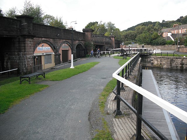
Image: © Richard Webb Taken: 1 Sep 2009
The disused Caledonian and Dunbartonshire Junction Railway crosses the Forth and Clyde Canal and the currently open railway. Most under the arches properties are vacant.
Images are licensed for reuse under creativecommons.org/licenses/by-sa/2.0
Image Location
Latitude
55.930166
Longitude
-4.481135