Towards Vernham Dean from the eastern flank of Haydown Hill
Introduction
The photograph on this page of Towards Vernham Dean from the eastern flank of Haydown Hill by Hugh Chevallier as part of the Geograph project.
The Geograph project started in 2005 with the aim of publishing, organising and preserving representative images for every square kilometre of Great Britain, Ireland and the Isle of Man.

There are currently over 7.5m images from over 14,400 individuals and you can help contribute to the project by visiting https://www.geograph.org.uk
Towards Vernham Dean from the eastern flank of Haydown Hill
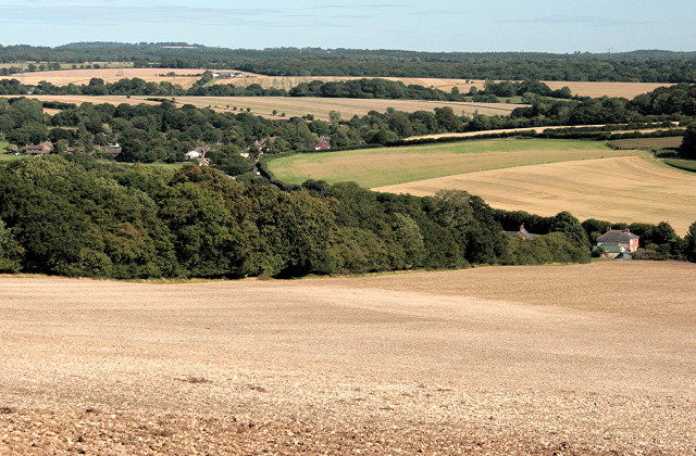
Image: © Hugh Chevallier Taken: 31 Aug 2009
The house on the extreme right is in Hampshire (the end of its back garden seems to be the border with Wiltshire). It is unclear from the 1:25,000 mapping whether this house is named Goudyses Gate, but it appears to form part of a hamlet called Woodside. Vernham Dean (wholly within Hampshire) nestles in the trees on the left hand side of the photograph.
Images are licensed for reuse under creativecommons.org/licenses/by-sa/2.0
Image Location
Latitude
51.306597
Longitude
-1.533003