Greenwood
Introduction
The photograph on this page of Greenwood by Jim Goldsmith as part of the Geograph project.
The Geograph project started in 2005 with the aim of publishing, organising and preserving representative images for every square kilometre of Great Britain, Ireland and the Isle of Man.

There are currently over 7.5m images from over 14,400 individuals and you can help contribute to the project by visiting https://www.geograph.org.uk
Greenwood
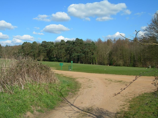
Image: © Jim Goldsmith Taken: 5 Apr 2006
Looking towards Greenwood from Greenwood Lane. I believe that the edge of Greenwood marks the eastern edge of the East Horton Golf Club, you can just make out the Tee markers & if you look very closely a Red flag marking a green.
Images are licensed for reuse under creativecommons.org/licenses/by-sa/2.0
Image Location
Latitude
50.954664
Longitude
-1.272439