Vale of Leven Academy
Introduction
The photograph on this page of Vale of Leven Academy by Richard Webb as part of the Geograph project.
The Geograph project started in 2005 with the aim of publishing, organising and preserving representative images for every square kilometre of Great Britain, Ireland and the Isle of Man.

There are currently over 7.5m images from over 14,400 individuals and you can help contribute to the project by visiting https://www.geograph.org.uk
Vale of Leven Academy
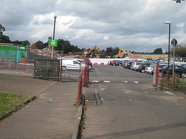
Image: © Richard Webb Taken: 1 Sep 2009
The car park and demolition site which was the previous school building. The school has moved to a new building just to the east, on the site of its playing field (seen as a blaes pitch on the aerial photos). View of the old buildings: Image
Images are licensed for reuse under creativecommons.org/licenses/by-sa/2.0
Image Location
Latitude
55.97914
Longitude
-4.582219