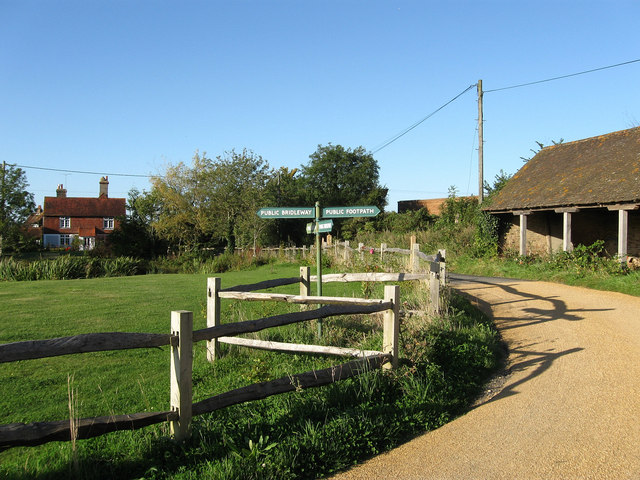
Hayleigh Farm
Introduction
The photograph on this page of Hayleigh Farm by Simon Carey as part of the Geograph project.
The Geograph project started in 2005 with the aim of publishing, organising and preserving representative images for every square kilometre of Great Britain, Ireland and the Isle of Man.
There are currently over 7.5m images from over 14,400 individuals and you can help contribute to the project by visiting https://www.geograph.org.uk

Image: © Simon Carey Taken: 31 Aug 2009
The farm was built on the site of Hailey Park a medieval deer park that was enclosed in the late 16th century. Located on a crossroads of three bridleways and one footpath. The route running east-west is the old road from Ditchling to Chiltington that is now just bridleways or footpaths whilst that running north-south is an old droving route that possibly follows an even older Roman road that linked the Downs to the Weald. Currently the bridleway links the B2116 near Westmeston to Streat Lane near Captains Farm.

