Glusburn: Lodge Street
Introduction
The photograph on this page of Glusburn: Lodge Street by Dr Neil Clifton as part of the Geograph project.
The Geograph project started in 2005 with the aim of publishing, organising and preserving representative images for every square kilometre of Great Britain, Ireland and the Isle of Man.

There are currently over 7.5m images from over 14,400 individuals and you can help contribute to the project by visiting https://www.geograph.org.uk
Glusburn: Lodge Street
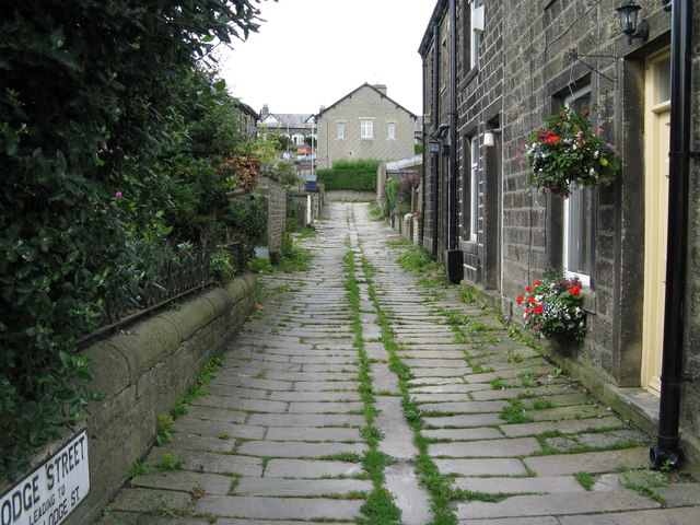
Image: © Dr Neil Clifton Taken: 18 Aug 2009
This street is the next one to the west of Hartley Street. It has classic sett paving with a central gutter - well worthy of preservation.
Images are licensed for reuse under creativecommons.org/licenses/by-sa/2.0
Image Location
Latitude
53.899369
Longitude
-2.003007