Congregational Church, Picardy Road, Belvedere, Kent
Introduction
The photograph on this page of Congregational Church, Picardy Road, Belvedere, Kent by Dr Neil Clifton as part of the Geograph project.
The Geograph project started in 2005 with the aim of publishing, organising and preserving representative images for every square kilometre of Great Britain, Ireland and the Isle of Man.

There are currently over 7.5m images from over 14,400 individuals and you can help contribute to the project by visiting https://www.geograph.org.uk
Congregational Church, Picardy Road, Belvedere, Kent
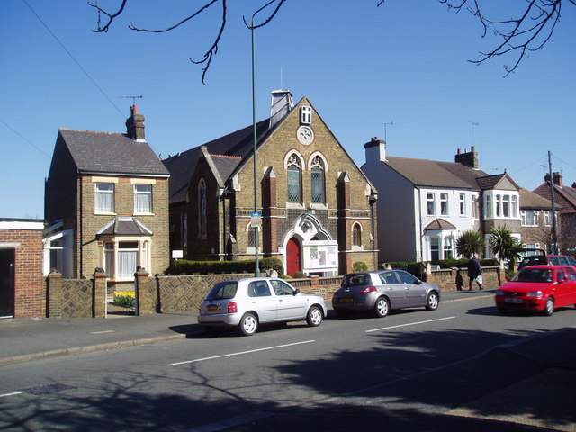
Image: © Dr Neil Clifton Taken: 5 Apr 2006
This very pleasant building seems to be about 100 years old, but there has been a church on this site for longer than that: the First Edition six-inch map labels a "Bapt. Ch." at this spot, which was then almost in open country.
Images are licensed for reuse under creativecommons.org/licenses/by-sa/2.0
Image Location
Latitude
51.486647
Longitude
0.148932