Eastry High Street
Introduction
The photograph on this page of Eastry High Street by John Baker as part of the Geograph project.
The Geograph project started in 2005 with the aim of publishing, organising and preserving representative images for every square kilometre of Great Britain, Ireland and the Isle of Man.

There are currently over 7.5m images from over 14,400 individuals and you can help contribute to the project by visiting https://www.geograph.org.uk
Eastry High Street
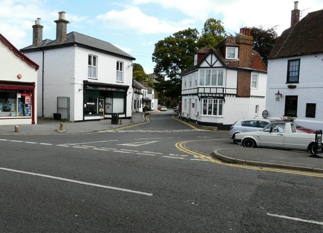
Image: © John Baker Taken: 30 Aug 2009
Eastry High Street looking over the road to its junction with Brook Street. Church Street leads off Brook Street and the square church tower can be seen in the distance.
Images are licensed for reuse under creativecommons.org/licenses/by-sa/2.0
Image Location
Latitude
51.244598
Longitude
1.307798