Kidds Farm
Introduction
The photograph on this page of Kidds Farm by Simon Carey as part of the Geograph project.
The Geograph project started in 2005 with the aim of publishing, organising and preserving representative images for every square kilometre of Great Britain, Ireland and the Isle of Man.

There are currently over 7.5m images from over 14,400 individuals and you can help contribute to the project by visiting https://www.geograph.org.uk
Kidds Farm
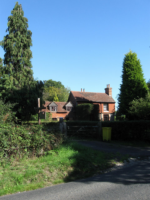
Image: © Simon Carey Taken: 31 Aug 2009
On St Helena Lane and originally built in the waste ground between the highway and the Streat-Westmeston parish border. I believe the original is on the left and has been extended somewhat probably before the era of planning controls.
Images are licensed for reuse under creativecommons.org/licenses/by-sa/2.0
Image Location
Latitude
50.945153
Longitude
-0.077432