New Grange Farm
Introduction
The photograph on this page of New Grange Farm by Deceased uncle as part of the Geograph project.
The Geograph project started in 2005 with the aim of publishing, organising and preserving representative images for every square kilometre of Great Britain, Ireland and the Isle of Man.

There are currently over 7.5m images from over 14,400 individuals and you can help contribute to the project by visiting https://www.geograph.org.uk
New Grange Farm
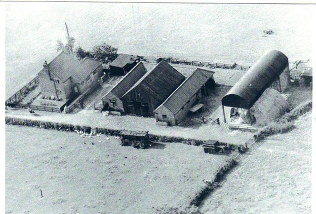
Image: © Deceased uncle Taken: Unknown
Farmed by my uncle for 32 years (1935-1967). Since this post-WWII photo, satellite maps show substantial extra steadings have been added at the eastern end.
Images are licensed for reuse under creativecommons.org/licenses/by-sa/2.0
Image Location
Latitude
54.129495
Longitude
-1.20039