Field at Carn Glaze Farm
Introduction
The photograph on this page of Field at Carn Glaze Farm by Rod Allday as part of the Geograph project.
The Geograph project started in 2005 with the aim of publishing, organising and preserving representative images for every square kilometre of Great Britain, Ireland and the Isle of Man.

There are currently over 7.5m images from over 14,400 individuals and you can help contribute to the project by visiting https://www.geograph.org.uk
Field at Carn Glaze Farm
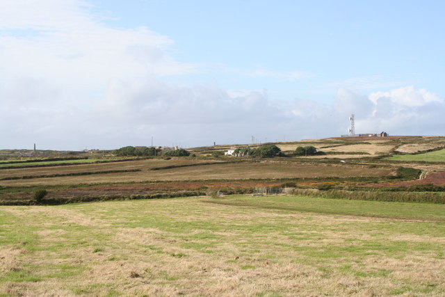
Image: © Rod Allday Taken: 29 Aug 2009
On the skyline in the centre of the picture is the chimney at the derelict Leswidden china clay works Image, on the right in the adjacent square SW3930 is Leswidden radio station Image and on the left the much photographed chimney in square SW3830 Image
Images are licensed for reuse under creativecommons.org/licenses/by-sa/2.0
Image Location
Latitude
50.112409
Longitude
-5.64438