The western end of Causeway Road, Newcastle
Introduction
The photograph on this page of The western end of Causeway Road, Newcastle by Eric Jones as part of the Geograph project.
The Geograph project started in 2005 with the aim of publishing, organising and preserving representative images for every square kilometre of Great Britain, Ireland and the Isle of Man.

There are currently over 7.5m images from over 14,400 individuals and you can help contribute to the project by visiting https://www.geograph.org.uk
The western end of Causeway Road, Newcastle
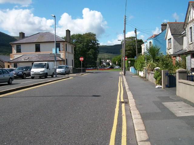
Image: © Eric Jones Taken: 21 Aug 2009
This short road links (at least, on foot) the Central Promenade with Bryansford Road, Shimna Road and Tullybrannigan Road. No entry signs beyond the car park bar the motorist.
Images are licensed for reuse under creativecommons.org/licenses/by-sa/2.0
Image Location
Latitude
54.208881
Longitude
-5.893448