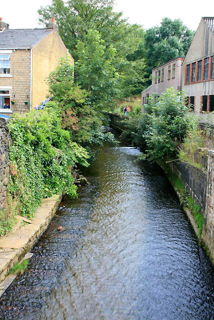
Glossop Brook
Introduction
The photograph on this page of Glossop Brook by David Lally as part of the Geograph project.
The Geograph project started in 2005 with the aim of publishing, organising and preserving representative images for every square kilometre of Great Britain, Ireland and the Isle of Man.
There are currently over 7.5m images from over 14,400 individuals and you can help contribute to the project by visiting https://www.geograph.org.uk

Image: © David Lally Taken: 13 Aug 2009
As it passes under the A57 for the firs time. The ripple effect on the surface is caused by a paved bed laid by the Environment Agency in about 2001 as part of a multi-million anti-flood scheme along the course of the brook. As luck would have it within a year of that being completed heavy rain in August 2002 lead to the brook bursting its banks and giving Glossop its worst flood in fifty years.
Image Location


