Lordship Road, Stoke Newington
Introduction
The photograph on this page of Lordship Road, Stoke Newington by Stephen McKay as part of the Geograph project.
The Geograph project started in 2005 with the aim of publishing, organising and preserving representative images for every square kilometre of Great Britain, Ireland and the Isle of Man.

There are currently over 7.5m images from over 14,400 individuals and you can help contribute to the project by visiting https://www.geograph.org.uk
Lordship Road, Stoke Newington
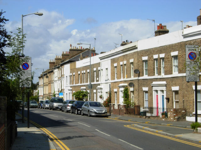
Image: © Stephen McKay Taken: 28 Aug 2009
Lordship Road, a key thoroughfare in the Victorian suburb of Stoke Newington leading north towards Seven Sisters Road, is seen here from close to the junction with Stoke Newington Church Street.
Images are licensed for reuse under creativecommons.org/licenses/by-sa/2.0
Image Location
Latitude
51.56275
Longitude
-0.080639