Home Mead
Introduction
The photograph on this page of Home Mead by Simon Carey as part of the Geograph project.
The Geograph project started in 2005 with the aim of publishing, organising and preserving representative images for every square kilometre of Great Britain, Ireland and the Isle of Man.

There are currently over 7.5m images from over 14,400 individuals and you can help contribute to the project by visiting https://www.geograph.org.uk
Home Mead
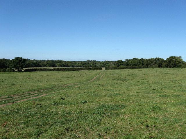
Image: © Simon Carey Taken: 31 Aug 2009
The name of the field according to the 1844 tithe map and formerly part of Streat Common that was enclosed in the early 17th century. The line of trees to the right mark the course of the Streat-Plumpton parish border.
Images are licensed for reuse under creativecommons.org/licenses/by-sa/2.0
Image Location
Latitude
50.949217
Longitude
-0.067583