Woolsthorpe: trackbed of the High Dyke Branch
Introduction
The photograph on this page of Woolsthorpe: trackbed of the High Dyke Branch by John Sutton as part of the Geograph project.
The Geograph project started in 2005 with the aim of publishing, organising and preserving representative images for every square kilometre of Great Britain, Ireland and the Isle of Man.

There are currently over 7.5m images from over 14,400 individuals and you can help contribute to the project by visiting https://www.geograph.org.uk
Woolsthorpe: trackbed of the High Dyke Branch
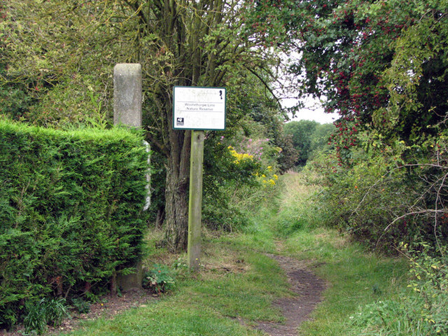
Image: © John Sutton Taken: 27 Aug 2009
The High Dyke branch was built during the First World War to carry iron ore from quarries at Colsterworth, Skillington, Buckminster, Gunby and Sproxton to the East Coast Main line (the junction and sidings were in square SK9329) and closed in 1973. This view of what is now the Woolsthorpe Line Nature Reserve is taken from where the railway once crossed the old road to Buckminster (the present road dates from 1966). The substantial concrete post next to the hedge once supported the level crossing gate.
Images are licensed for reuse under creativecommons.org/licenses/by-sa/2.0
Image Location
Latitude
52.809419
Longitude
-0.638206