Lower Corndon
Introduction
The photograph on this page of Lower Corndon by Derek Harper as part of the Geograph project.
The Geograph project started in 2005 with the aim of publishing, organising and preserving representative images for every square kilometre of Great Britain, Ireland and the Isle of Man.

There are currently over 7.5m images from over 14,400 individuals and you can help contribute to the project by visiting https://www.geograph.org.uk
Lower Corndon
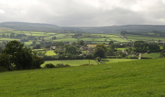
Image: © Derek Harper Taken: 27 Aug 2009
In the centre and right is Lower Corndon Farm and its associated cottages, with Higher Corndon Farm behind them. Seen from the lane shown in Image High Dartmoor broods in the distance.
Images are licensed for reuse under creativecommons.org/licenses/by-sa/2.0
Image Location
Latitude
50.652653
Longitude
-3.851646