Dee Marshes
Introduction
The photograph on this page of Dee Marshes by Dennis Turner as part of the Geograph project.
The Geograph project started in 2005 with the aim of publishing, organising and preserving representative images for every square kilometre of Great Britain, Ireland and the Isle of Man.

There are currently over 7.5m images from over 14,400 individuals and you can help contribute to the project by visiting https://www.geograph.org.uk
Dee Marshes
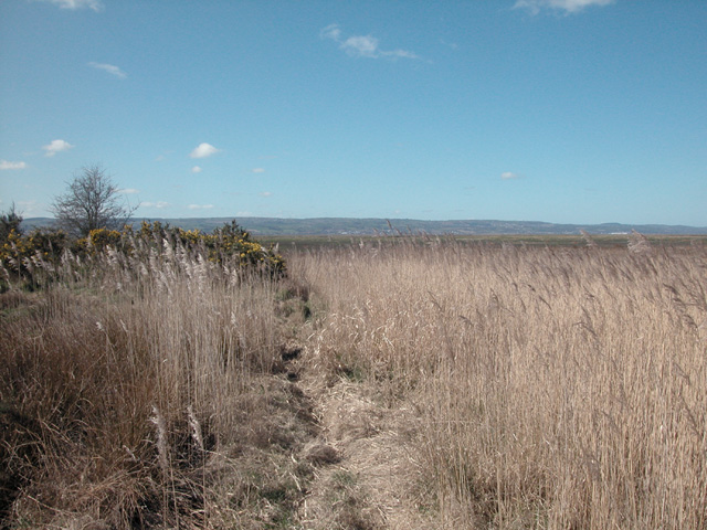
Image: © Dennis Turner Taken: 4 Apr 2006
Salt marshes at the end of Marshlands road where previously the river brought ships to the nearby ports. Close to this spot was Wirral colliery which ceased production in 1928.
Images are licensed for reuse under creativecommons.org/licenses/by-sa/2.0
Image Location
Latitude
53.279775
Longitude
-3.069301