Woolsthorpe: new and old Buckminster roads
Introduction
The photograph on this page of Woolsthorpe: new and old Buckminster roads by John Sutton as part of the Geograph project.
The Geograph project started in 2005 with the aim of publishing, organising and preserving representative images for every square kilometre of Great Britain, Ireland and the Isle of Man.

There are currently over 7.5m images from over 14,400 individuals and you can help contribute to the project by visiting https://www.geograph.org.uk
Woolsthorpe: new and old Buckminster roads
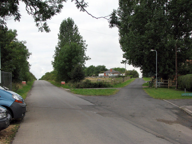
Image: © John Sutton Taken: 27 Aug 2009
The course of the road was moved to the south of the High Dyke Branch railway in 1966 as ironstone quarrying in the huge Colsterworth North Quarry, which took up all of the northern half of this gridsquare (and SK9124), moved south. The truncated old road is to the right, the current road to the left. The High Dyke Branch crossed the old road on the crest of the hill, just beyond the bungalow; the line of trees marks its course, which is now known as the Woolsthorpe Line Nature Reserve. See other photos nearby for more on the ironstone quarries and railways in the area.
Images are licensed for reuse under creativecommons.org/licenses/by-sa/2.0
Image Location
Latitude
52.809128
Longitude
-0.636286