Furrocks Lane
Introduction
The photograph on this page of Furrocks Lane by Dennis Turner as part of the Geograph project.
The Geograph project started in 2005 with the aim of publishing, organising and preserving representative images for every square kilometre of Great Britain, Ireland and the Isle of Man.

There are currently over 7.5m images from over 14,400 individuals and you can help contribute to the project by visiting https://www.geograph.org.uk
Furrocks Lane
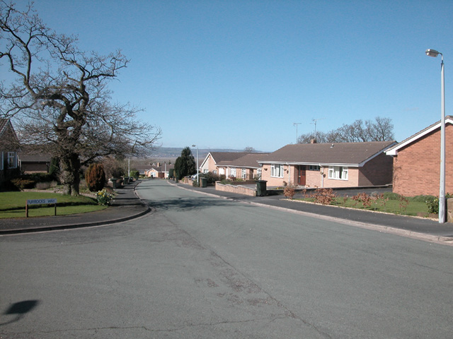
Image: © Dennis Turner Taken: 4 Apr 2006
Modern residential area in Nessholt. The road leads down to a railway line beyond which is more residential property down to the Dee marshes.
Images are licensed for reuse under creativecommons.org/licenses/by-sa/2.0
Image Location
Latitude
53.279896
Longitude
-3.055805