Footpath leading up to Yew Hill
Introduction
The photograph on this page of Footpath leading up to Yew Hill by James Hardiman as part of the Geograph project.
The Geograph project started in 2005 with the aim of publishing, organising and preserving representative images for every square kilometre of Great Britain, Ireland and the Isle of Man.

There are currently over 7.5m images from over 14,400 individuals and you can help contribute to the project by visiting https://www.geograph.org.uk
Footpath leading up to Yew Hill
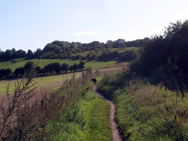
Image: © James Hardiman Taken: 31 Aug 2009
Part of my Clarendon 1 circular walk
Images are licensed for reuse under creativecommons.org/licenses/by-sa/2.0
Image Location


Leaflet Map data © OpenStreetMap
Latitude
51.038747
Longitude
-1.349569