Footpath beside the disused railway
Introduction
The photograph on this page of Footpath beside the disused railway by Richard Law as part of the Geograph project.
The Geograph project started in 2005 with the aim of publishing, organising and preserving representative images for every square kilometre of Great Britain, Ireland and the Isle of Man.

There are currently over 7.5m images from over 14,400 individuals and you can help contribute to the project by visiting https://www.geograph.org.uk
Footpath beside the disused railway
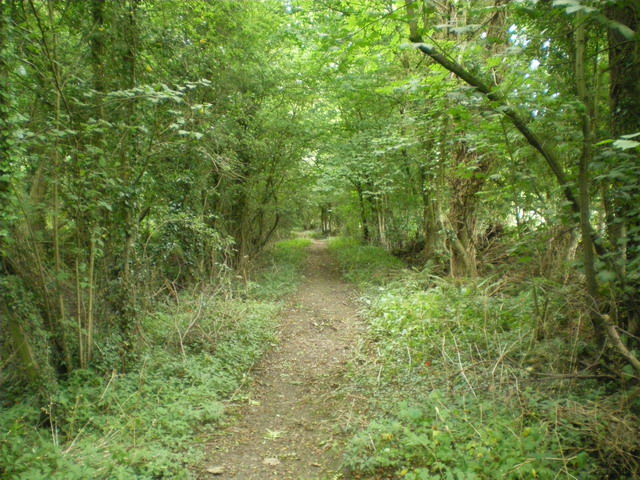
Image: © Richard Law Taken: 30 Aug 2009
The railway line has long gone, but this path does not follow the old line exactly - it runs through the woods adjacent and out into the fields immediately south of the track.
Images are licensed for reuse under creativecommons.org/licenses/by-sa/2.0
Image Location


Leaflet Map data © OpenStreetMap
Latitude
52.588571
Longitude
-2.575765