Cherry Tree
Introduction
The photograph on this page of Cherry Tree by Derek Harper as part of the Geograph project.
The Geograph project started in 2005 with the aim of publishing, organising and preserving representative images for every square kilometre of Great Britain, Ireland and the Isle of Man.

There are currently over 7.5m images from over 14,400 individuals and you can help contribute to the project by visiting https://www.geograph.org.uk
Cherry Tree
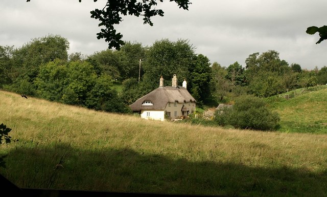
Image: © Derek Harper Taken: 27 Aug 2009
A pretty thatched farmhouse in the Wadley Brook valley, seen from North Bovey Footpath 10.
Images are licensed for reuse under creativecommons.org/licenses/by-sa/2.0
Image Location
Latitude
50.657756
Longitude
-3.778133