A361 at Rode
Introduction
The photograph on this page of A361 at Rode by Phil Williams as part of the Geograph project.
The Geograph project started in 2005 with the aim of publishing, organising and preserving representative images for every square kilometre of Great Britain, Ireland and the Isle of Man.

There are currently over 7.5m images from over 14,400 individuals and you can help contribute to the project by visiting https://www.geograph.org.uk
A361 at Rode
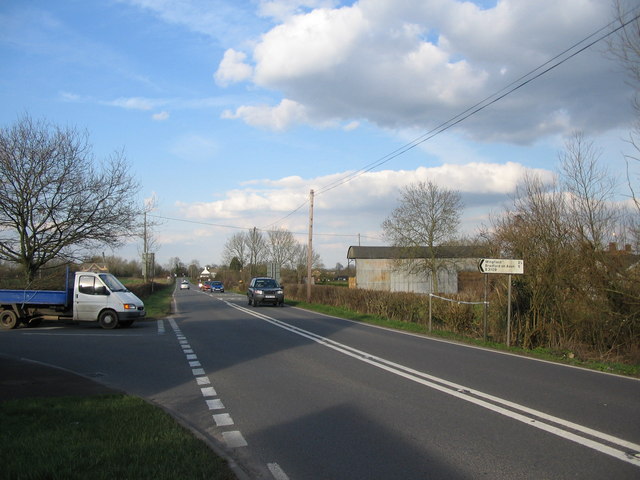
Image: © Phil Williams Taken: 4 Apr 2006
A view looking northeast along the A361 at the junction with the B3109 (left). The buildings of Parsonage Farm are on the right, with police tape marking the scene of an accident where a vehicle failed to stop at the junction.
Images are licensed for reuse under creativecommons.org/licenses/by-sa/2.0
Image Location
Latitude
51.28212
Longitude
-2.273804