Marsworth Church from the North West
Introduction
The photograph on this page of Marsworth Church from the North West by Chris Reynolds as part of the Geograph project.
The Geograph project started in 2005 with the aim of publishing, organising and preserving representative images for every square kilometre of Great Britain, Ireland and the Isle of Man.

There are currently over 7.5m images from over 14,400 individuals and you can help contribute to the project by visiting https://www.geograph.org.uk
Marsworth Church from the North West
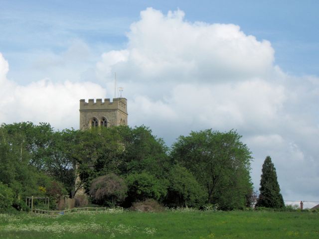
Image: © Chris Reynolds Taken: 20 May 2009
North of the Marsworth flight of locks the canal follows the contours round the low hill on which the Church is built. Much of the land between the Church and the canal is undeveloped and is managed as meadow. See Image See Image for links to other pictures of, or visible from, this stretch of the Grand Union Canal.
Images are licensed for reuse under creativecommons.org/licenses/by-sa/2.0
Image Location
Latitude
51.822824
Longitude
-0.666993