Valley below Bearland (2)
Introduction
The photograph on this page of Valley below Bearland (2) by Derek Harper as part of the Geograph project.
The Geograph project started in 2005 with the aim of publishing, organising and preserving representative images for every square kilometre of Great Britain, Ireland and the Isle of Man.

There are currently over 7.5m images from over 14,400 individuals and you can help contribute to the project by visiting https://www.geograph.org.uk
Valley below Bearland (2)
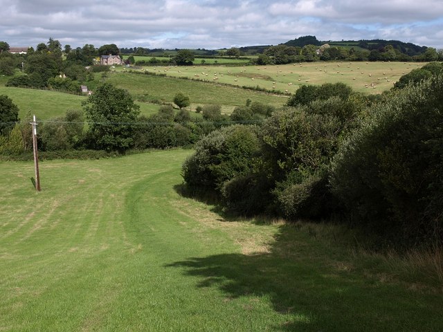
Image: © Derek Harper Taken: 27 Aug 2009
North Bovey Footpath 10 curves around the trees on the right of this irregularly-shaped field. See also Image The buildings at top left are Lowton and Cherry Tree Farm.
Images are licensed for reuse under creativecommons.org/licenses/by-sa/2.0
Image Location
Latitude
50.655971
Longitude
-3.777217