Witsets
Introduction
The photograph on this page of Witsets by Richard Webb as part of the Geograph project.
The Geograph project started in 2005 with the aim of publishing, organising and preserving representative images for every square kilometre of Great Britain, Ireland and the Isle of Man.

There are currently over 7.5m images from over 14,400 individuals and you can help contribute to the project by visiting https://www.geograph.org.uk
Witsets
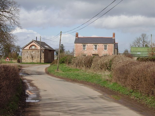
Image: © Richard Webb Taken: 1 Apr 2006
Once a farm, with the road running through the yard. The building on the left has been converted from a barn to a house.
Images are licensed for reuse under creativecommons.org/licenses/by-sa/2.0
Image Location


Leaflet Map data © OpenStreetMap
Latitude
52.195746
Longitude
-2.684643