Water Trough, Flemyland
Introduction
The photograph on this page of Water Trough, Flemyland by wfmillar as part of the Geograph project.
The Geograph project started in 2005 with the aim of publishing, organising and preserving representative images for every square kilometre of Great Britain, Ireland and the Isle of Man.

There are currently over 7.5m images from over 14,400 individuals and you can help contribute to the project by visiting https://www.geograph.org.uk
Water Trough, Flemyland
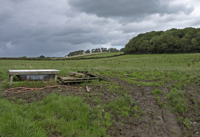
Image: © wfmillar Taken: 29 Aug 2009
Barneyhill Plantation on the right and Jameston Woods centre. The trough is an old bath and looked like it had to be filled manually.
Images are licensed for reuse under creativecommons.org/licenses/by-sa/2.0
Image Location
Latitude
55.676036
Longitude
-4.687706